Land Surveying in Pittsburgh, PA
Tait Engineering Inc.
in Pittsburgh, Pennsylvania, provides residential and commercial surveys, topographic surveys, ALTA/ACSM land title surveys, construction layout, simple and multi-phase subdivisions, and legal descriptions and exhibit plans. Residential and commercial surveys
provide land surveys for residential, commercial, and industrial boundary lines.
Land Surveying

Tait Engineering Inc. provides residential and commercial surveys, topographic surveys, ALTA/ACSM land title surveys, construction layout, simple and multi-phase subdivisions, and legal descriptions and exhibit plans. Residential and commercial surveys provide land surveys for residential, commercial, and industrial boundary lines.
Topographic surveys are surveys of contours and elevations of the land to determine the design of the plan and to show the existing conditions of the land for pipe flow, parking lots, and other structures to be designed.
Topographic surveys are surveys of contours and elevations of the land to determine the design of the plan and to show the existing conditions of the land for pipe flow, parking lots, and other structures to be designed.
An ALTA/ACSM land title survey is a specialized survey for commercial properties to uncover issues the property development may have, such as easements, rights-of-way, or any other issues that may have a negative effect on the property.
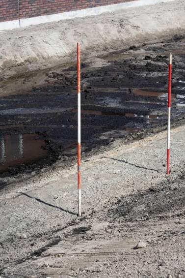
Construction layout assists the contractors at a construction site with the staking of structures, roadways, and sewers to help guide where to dig and where to build. A simple subdivision is a basic plan that you take to municipalities to separate your land into two or three different lots. The multi-phase subdivision plan is a full submission to the municipalities for multiple homes or residential development.
Legal descriptions and exhibit plans are a metes and bounds description for creations of deeds or preparation of easements, right-of-ways, and property lines to describe boundary lines. Exhibit plans are plotting plans or a mapping of the easements, right-of-ways, and property lines. Our field crews use Topcon™ total stations with TDS™ ranger, and Recon™ data collectors.


